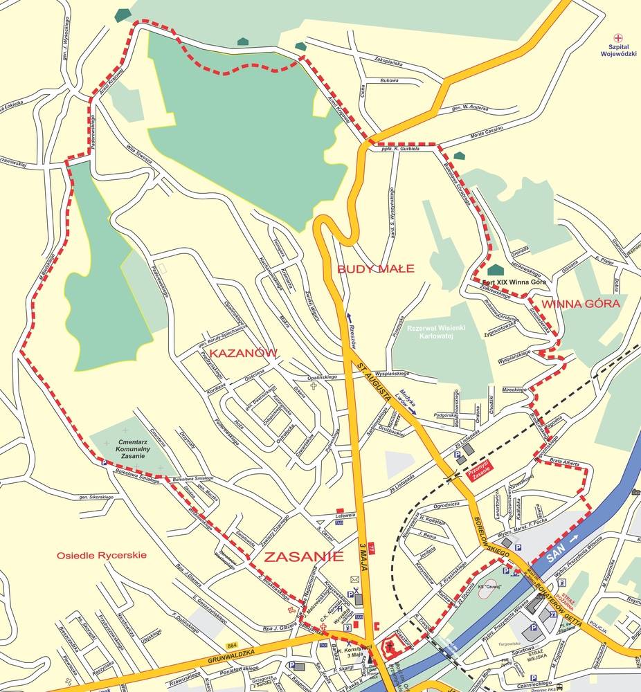
Route: The Eaglets of Przemyśl Square - Lipowica (343 m above sea level) - Winna Góra (278 m above sea level) - the Eaglets of Przemyśl Square. Location of the route: Dynów Foothills (fragment of the Carpathian Foothills).
Length of the route: 9 km.
Time: about 3 hours.
THE MOST IMPORTANT ATTRACTONS ALONG THE ROUTE:
- The Eaglets of Przemyśl Memorial
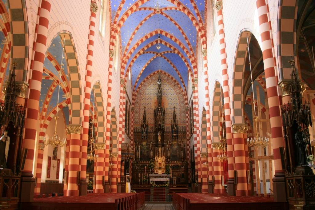
- The Holy Trinity Church and Benedictine Abbey
- former synagogue building from 1895 (near the petrol station)
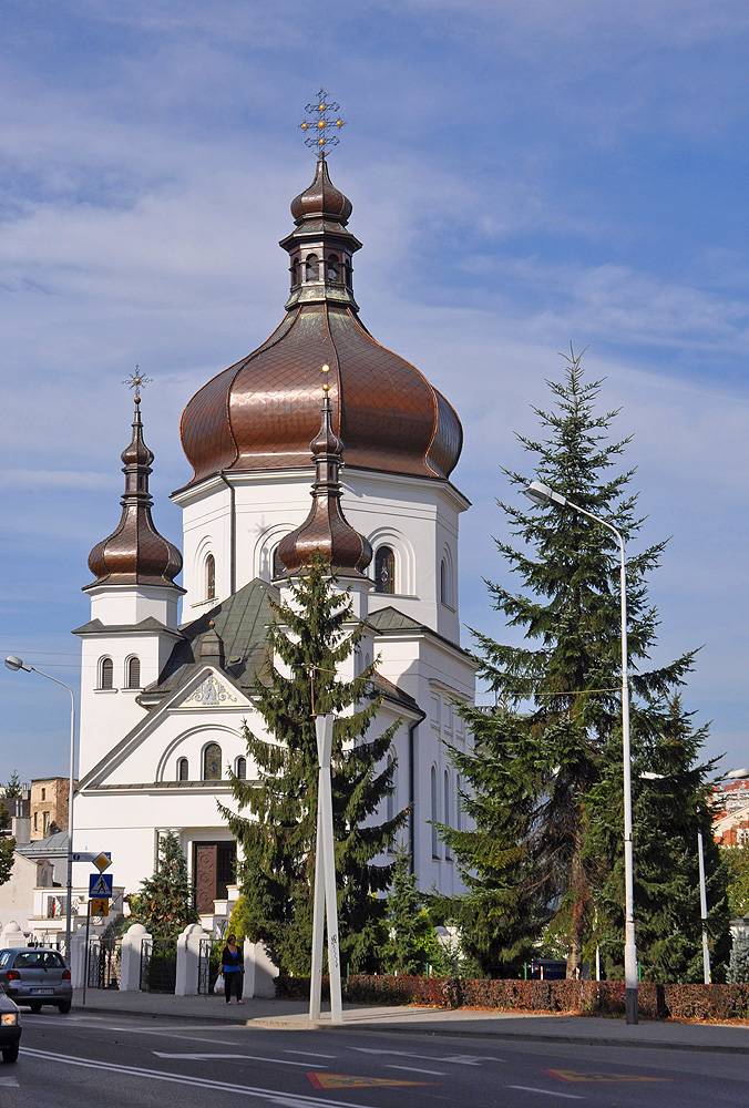
- the Eastern Church and Basilian Friars Monastery
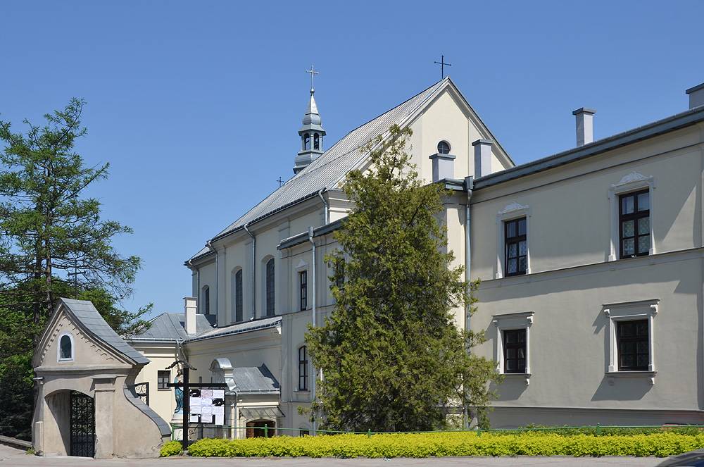
- the Salesian Friars Monastery
- The San Cemetery with the cemetery of Austrian and Hungarian army soldiers from World War I.
- a part of the internal ring of the Przemyśl Fortress
- Lipowica (343 m above sea level) with Fort XVIII „Lipowica” and obelisk of the Nazi victims
- Pax Vobis obelisk
- obelisk at ul. Monte Cassino
- Winna Mountain (278 m above sea level) with Fort XIX „Winna Góra” (forist reserve of the Austrian fax „Jamy”).