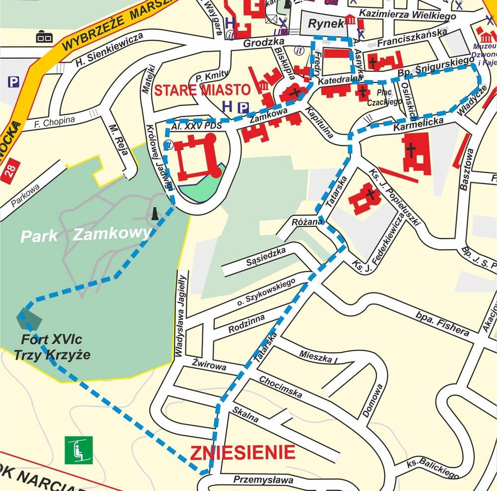
Route: The Old Town - Zamkowe Mountain (265 m above sea level) - Trzech Krzyży Mountain (289 m above sea level) - Zniesienie (353 above sea level) - the Old Town. Location of the route: Przemysl Foothills (fragment of the Carpathian Foothills).
Length of the route: about 3.5 km.
Time: about 2 hrs
THE MOST IMPORTANT ATTRACTONS ALONG THE ROUTE:
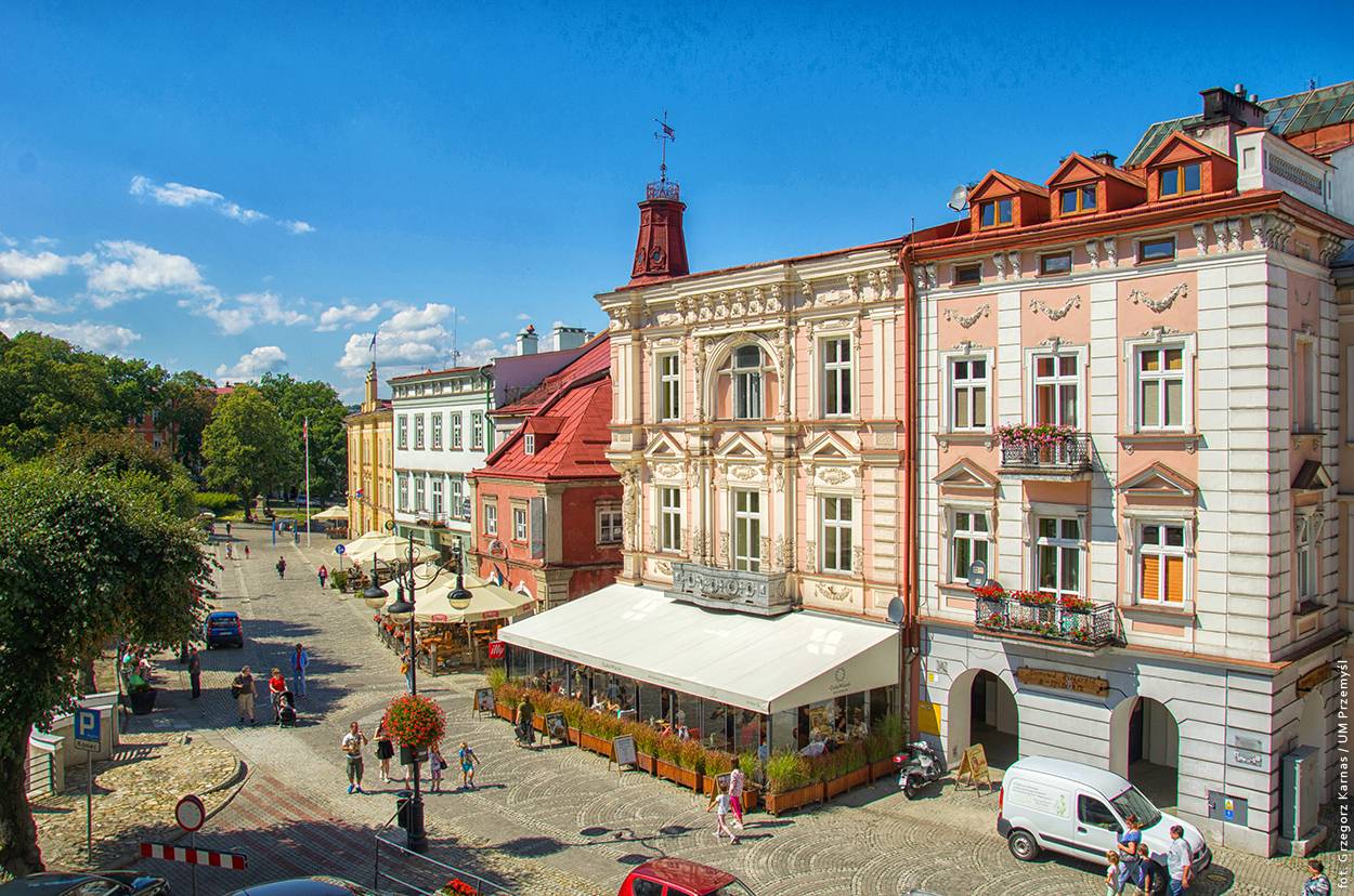
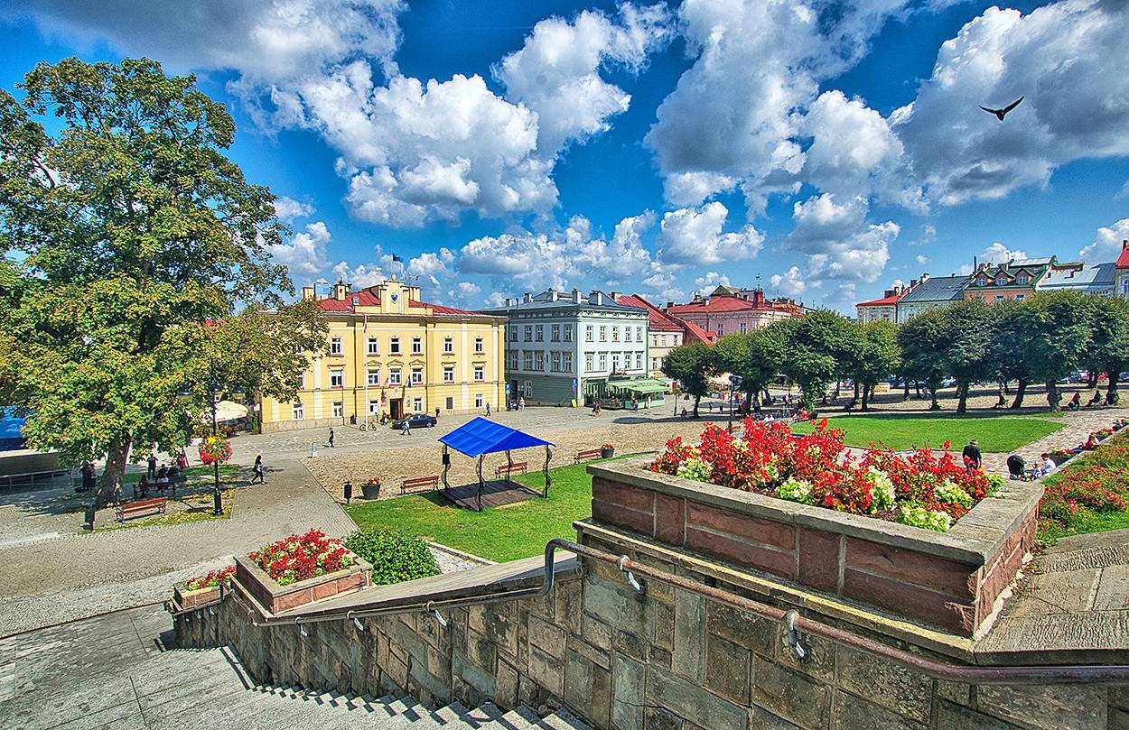
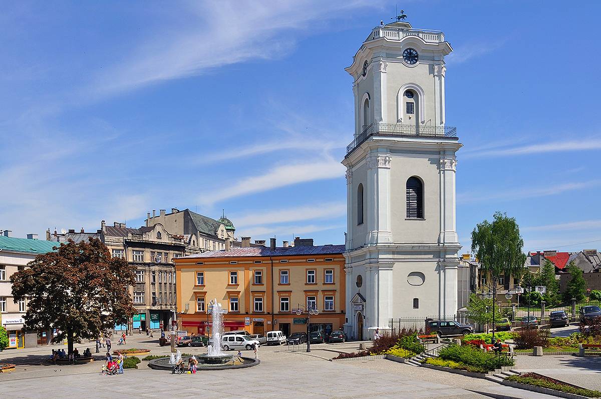
- Old Town Market Square
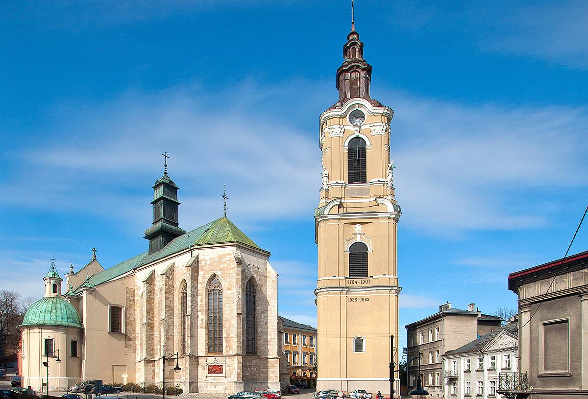
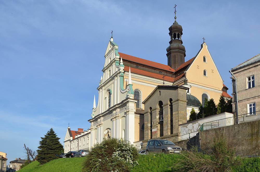
- Roman-Catholic Arch Cathedral
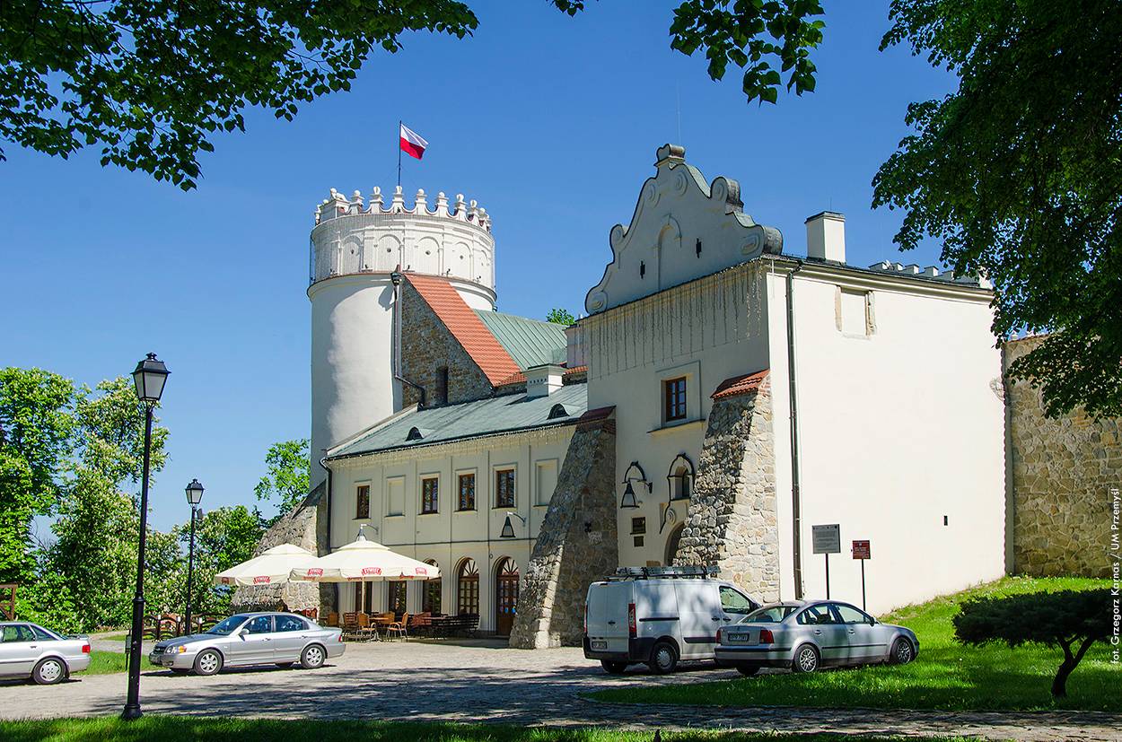
- The Casimir Castle
- The Castle Park
- Educational nature trail “Modraszkowe Wzgórze”
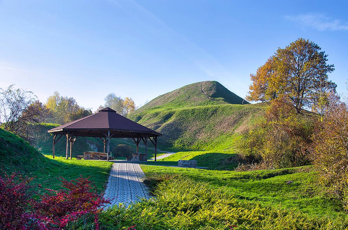
- fragments of the fortifcations of the Przemyśl Fortress
(a part of its internal ring)
- Trzech Krzyży Mountain (288 m above sea level)
- Zniesienie (353 m above sea level) with the Przemyśl
Sports and Recreational Park, Fort XVI „Zniesienie” and the
Krzyż Zawierzenia (Cross of Trust) visible from the route and
the Tartar’s Burrow,
- church and nunnery of the Barefoot Carmelite Nuns
- church and monastery of the Barefoot Carmelite Friars
- fragments of town walls (several dozen metres from
the route)
- the Clock Tower (near the route)
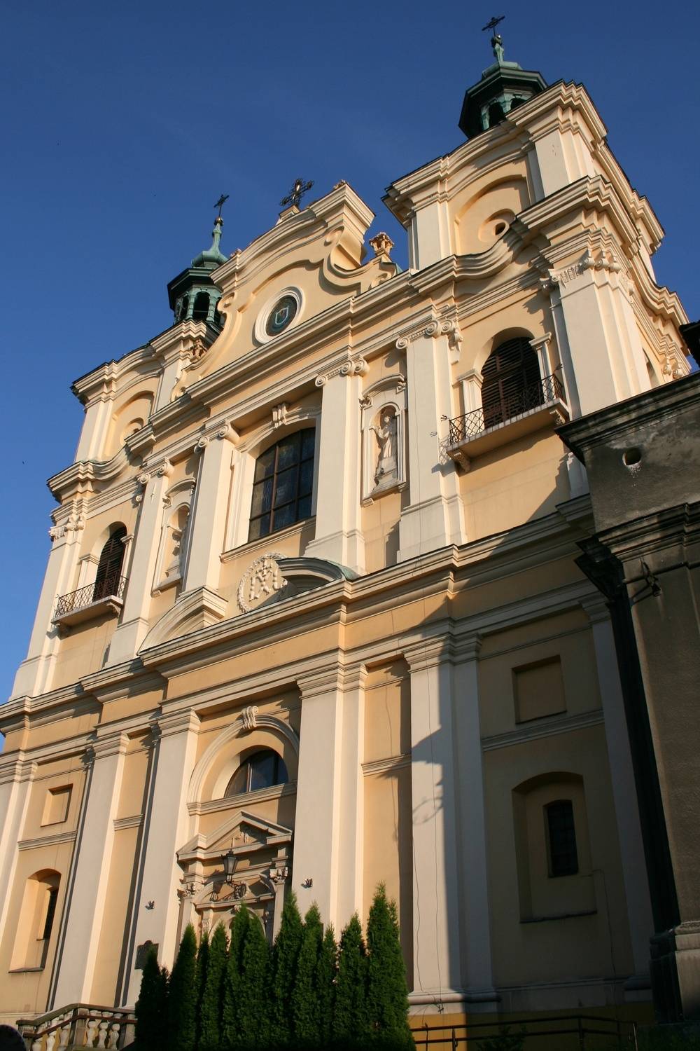
- Greek-Catholic Arch Cathedral (originally the Jesuit Church)
- Church of Franciscan Friars Minor Conventuals
- Old Town Market Square
- Roman-Catholic Arch Cathedral
- The Casimir Castle
- The Castle Park
- Educational nature trail “Modraszkowe Wzgórze”
- fragments of the fortifcations of the Przemyśl Fortress
(a part of its internal ring)
- Trzech Krzyży Mountain (288 m above sea level)
- Zniesienie (353 m above sea level) with the Przemyśl
Sports and Recreational Park, Fort XVI „Zniesienie” and the
Krzyż Zawierzenia (Cross of Trust) visible from the route and
the Tartar’s Burrow,
- church and nunnery of the Barefoot Carmelite Nuns
- church and monastery of the Barefoot Carmelite Friars
- fragments of town walls (several dozen metres from
the route)
- the Clock Tower (near the route)
- Greek-Catholic Arch Cathedral (originally the Jesuit Church)
- Church of Franciscan Friars Minor Conventuals